
Flaming Gorge Reservoir water level
▼ 13.4 points from 79.4% a year ago
Source: data.usbr.gov/rise/api/catalog-item/341, accessed October 1, 2026. Updated every 6 hours.
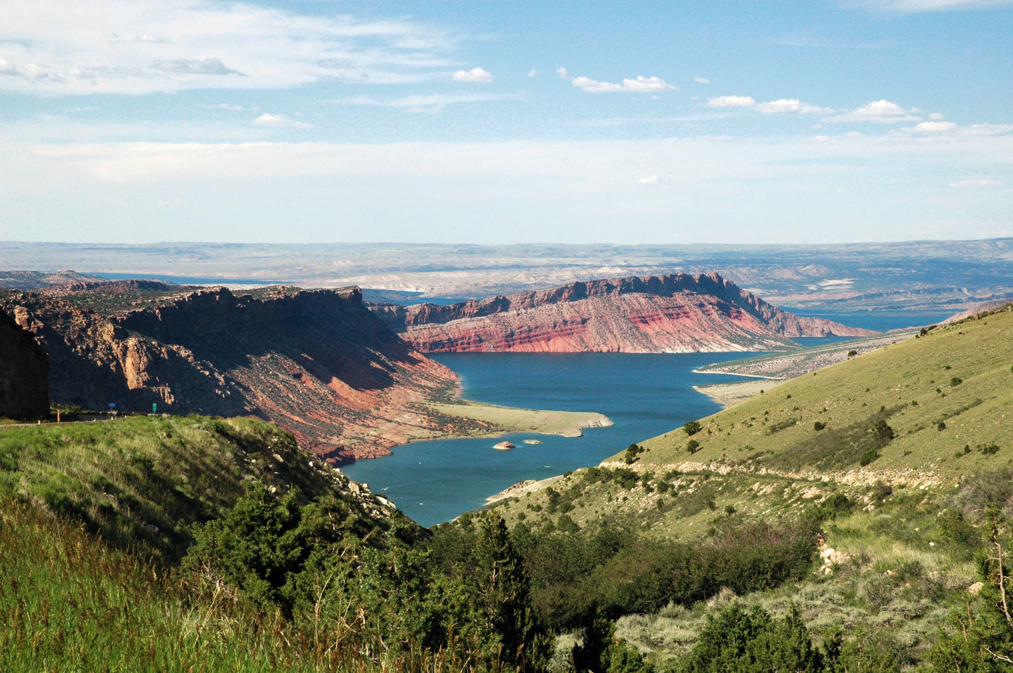
Flaming Gorge Reservoir is at 66.2% of full pool (6007.6 ft) as of September 26, 2026. Full pool elevation is 6040 ft. Flaming Gorge Reservoir was last full on September 18, 1998 (95% of normal storage). Flaming Gorge Reservoir is near Dutch John, Utah. It has restrooms, picnic area, boat launch, marina, and drinking water, managed by U.S. Forest Service, Ashley National Forest. Check current swimming advisories at Flaming Gorge NRA current information (U.S. Forest Service) before you go.
Flaming Gorge Reservoir level history
This site counts a reservoir as full on a day its storage is at or above 95% of the dam's normal storage (National Inventory of Dams). Many reservoirs rarely reach 100%, even in wet years, because operators release water for irrigation, power or flood control before they fill, so this site treats 95% as full. Highs and lows are daily readings in the published data, not official records. Source: Bureau of Reclamation daily data.
Storage, % of full pool, since 1962
Flaming Gorge Reservoir is falling: 66.4% full, down 0.4 percentage points since September 20, 2026.
On this same date last year (September 28, 2025), Flaming Gorge Reservoir was 79.4% full, 13 percentage points higher than today's 66.4%.
Weekly averages of the source's daily readings; older years may be monthly or sparser where that is all the source published. Download the charted data (JSON).
Flaming Gorge Reservoir map
Flaming Gorge Reservoir is at 40.9149, -109.4219. Open in OpenStreetMap.
The dam
- Flood control
- Hydropower
- Recreation
- Water supply
Sources: nid.sec.usace.army.mil, accessed September 29, 2026 , recreation.gov/camping/gateways/2017, accessed September 29, 2026 , usbr.gov/uc/rm/crsp/fg, accessed September 28, 2026
Data source: Recreation.gov
Visiting Flaming Gorge National Recreation Area
- Restrooms
- Picnic area
- Boat launch
- Marina
- Drinking water
Numerous developed campgrounds on and off the reservoir (many May-September; some year-round). Reservations and fees via Recreation.gov. NRA day-use pass required at major boat launches and designated day-use areas; no entrance fee to drive the Flaming Gorge-Uintas Scenic Byway or across the dam.
Good to know:
- NRA passes are sold at Forest Service offices and listed vendors; they are not available online.
- Reservoir about 91 miles long with roughly 375 miles of shoreline when full; recreation includes fishing, boating, swimming, camping, and access to the Green River below the dam.
- Ashley National Forest Supervisor’s Office: 355 North Vernal Avenue, Vernal, UT 84078; (435) 789-1181.
Swimming
Water-quality and swimming advisories change without notice. Always check Flaming Gorge NRA current information (U.S. Forest Service) before you go.
On the water
No campgrounds, boat ramps, or swim spots linked to Flaming Gorge Reservoir yet.
Common questions
- Flaming Gorge Reservoir is at 66.2% of full pool (6007.6 ft) as of September 26, 2026. Full pool elevation is 6040 ft.
- Flaming Gorge Reservoir was last full on September 18, 1998, when it held 95% of its normal storage (elevation 6,036.31 ft). This site counts a reservoir as full on a day its storage is at or above 95% of the dam's normal storage (National Inventory of Dams). Many reservoirs rarely reach 100%, even in wet years, because operators release water for irrigation, power or flood control before they fill, so this site treats 95% as full. Based on Bureau of Reclamation daily data since December 2, 1962.
- In Bureau of Reclamation daily data since December 2, 1962, Flaming Gorge Reservoir's highest storage was 103.3% of normal storage on July 12, 1983. Its lowest after it first filled (June 27, 1974) was 52.3% of normal storage on March 3, 1978. These are the highest and lowest daily readings in the published data, not official records.
- Flaming Gorge Reservoir is near Dutch John, Utah (40.9149, -109.4219).
- Bureau of Reclamation operates the dam at Flaming Gorge Reservoir.
- Flaming Gorge Reservoir's dam is used for Flood control, Hydropower, Recreation, Water supply.
- National Recreation Area open year-round. Flaming Gorge Dam Visitor Center open daily 9 a.m. to 5 p.m. when in season; seasonal closure Oct. 15 through April 15 (2025-2026 schedule). Fees: Day-use pass (boat launches and designated day-use areas) $5, Week pass $15, Annual NRA use pass $35.
- Flaming Gorge Dam Visitor Center, 9 a.m. to 5 p.m. daily when open; closed Oct. 15 through April 15.
- Flaming Gorge Reservoir has no designated swim area on record. Check current advisories at Flaming Gorge NRA current information (U.S. Forest Service) before you go.