
Livingston Reservoir water level
▼ 7.9 points from 90.5% a year ago
Source: waterdata.usgs.gov/monitoring-location/USGS-08066190, accessed October 1, 2026. Updated every 6 hours.
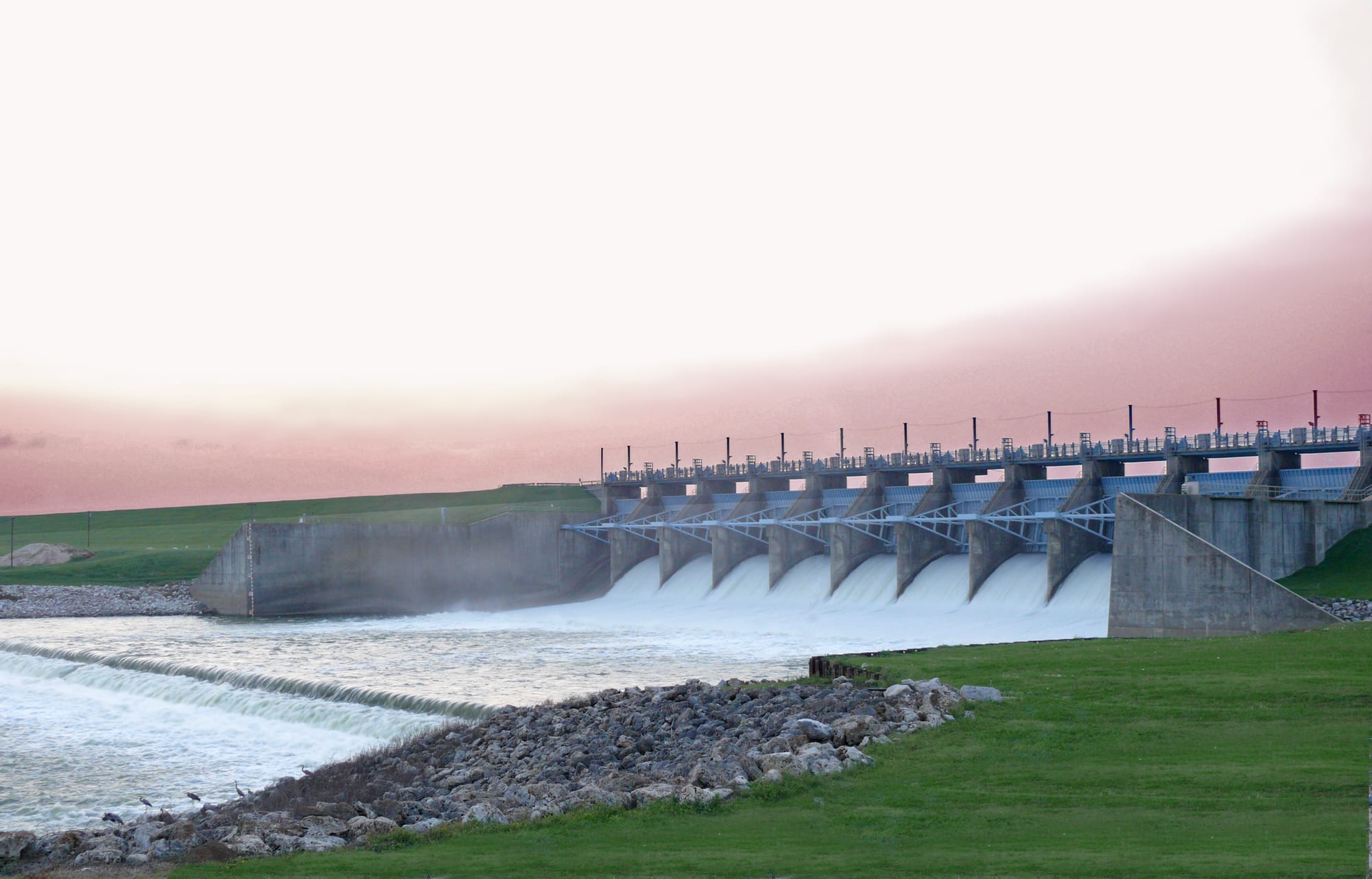
Livingston Reservoir is at 82.6% of full pool (128.89 ft) as of September 29, 2026. Livingston Reservoir was last full on June 27, 2026 (95% of normal storage). Livingston Reservoir is near Goodrich, Texas.
Livingston Reservoir level history
This site counts a reservoir as full on a day its storage is at or above 95% of the dam's normal storage (National Inventory of Dams). Many reservoirs rarely reach 100%, even in wet years, because operators release water for irrigation, power or flood control before they fill, so this site treats 95% as full. Highs and lows are daily readings in the published data, not official records. Source: USGS daily data.
Storage, % of full pool, since 1968
Livingston Reservoir is falling: 83.2% full, down 0.7 percentage points since September 27, 2026.
On this same date last year (September 28, 2025), Livingston Reservoir was 90.5% full, 7.3 percentage points higher than today's 83.2%.
Weekly averages of the source's daily readings; older years may be monthly or sparser where that is all the source published. Download the charted data (JSON).
Livingston Reservoir map
Livingston Reservoir is at 30.6335, -95.0102. Open in OpenStreetMap.
The dam
- Hydropower
Sources: nid.sec.usace.army.mil, accessed September 29, 2026
On the water
No campgrounds, boat ramps, or swim spots linked to Livingston Reservoir yet.
Common questions
- Livingston Reservoir is at 82.6% of full pool (128.89 ft) as of September 29, 2026.
- Livingston Reservoir was last full on June 27, 2026, when it held 95% of its normal storage. This site counts a reservoir as full on a day its storage is at or above 95% of the dam's normal storage (National Inventory of Dams). Many reservoirs rarely reach 100%, even in wet years, because operators release water for irrigation, power or flood control before they fill, so this site treats 95% as full. Based on USGS daily data since October 1, 1968.
- In USGS daily data since October 1, 1968, Livingston Reservoir's highest storage was 118.9% of normal storage on February 5, 1989. Its lowest after it first filled (October 30, 1971) was 76.9% of normal storage on October 25, 1988. These are the highest and lowest daily readings in the published data, not official records.
- Livingston Reservoir is near Goodrich, Texas (30.6335, -95.0102).
- Utility operates the dam at Livingston Reservoir.
- Livingston Reservoir's dam is used for Hydropower.