
Canyon Ferry Lake water level
▲ 3.3 points from 73.6% a year ago
Source: data.usbr.gov/rise/api/catalog-item/14, accessed October 1, 2026. Updated every 6 hours.
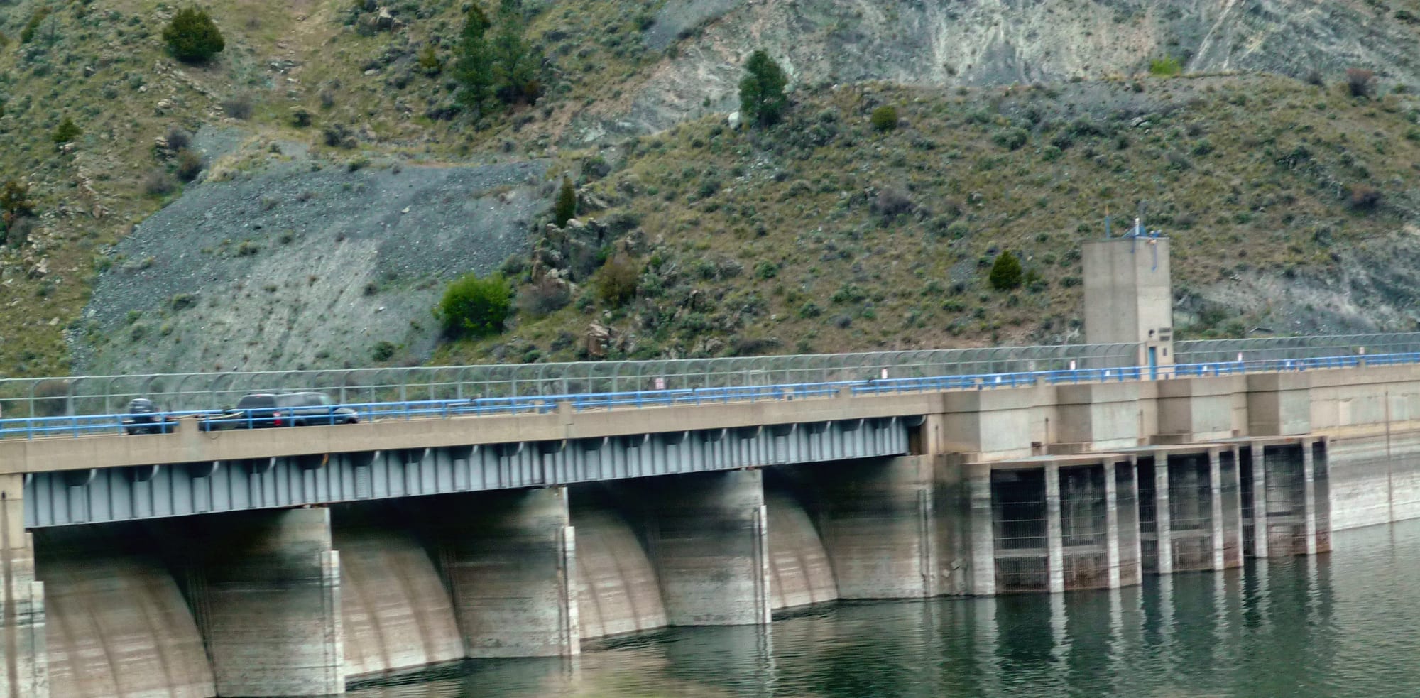
Canyon Ferry Lake is at 77.1% of full pool (3785.16 ft) as of September 27, 2026. Canyon Ferry Lake was last full on July 9, 2024 (95% of normal storage). Canyon Ferry Lake is near Townsend, Montana.
Canyon Ferry Lake level history
This site counts a reservoir as full on a day its storage is at or above 95% of the dam's normal storage (National Inventory of Dams). Many reservoirs rarely reach 100%, even in wet years, because operators release water for irrigation, power or flood control before they fill, so this site treats 95% as full. Highs and lows are daily readings in the published data, not official records. Source: Bureau of Reclamation daily data.
Storage, % of full pool, since 1953
Canyon Ferry Lake is falling: 77.3% full, down 0.5 percentage points since September 20, 2026.
On this same date last year (September 28, 2025), Canyon Ferry Lake was 73.6% full, 3.7 percentage points lower than today's 77.3%.
Weekly averages of the source's daily readings; older years may be monthly or sparser where that is all the source published. Download the charted data (JSON).
Canyon Ferry Lake map
Canyon Ferry Lake is at 46.6486, -111.7281. Open in OpenStreetMap.
The dam
- Flood control
- Hydropower
- Irrigation
- Recreation
Sources: nid.sec.usace.army.mil, accessed September 29, 2026 , recreation.gov/camping/gateways/130, accessed September 29, 2026
Data source: Recreation.gov
On the water
No campgrounds, boat ramps, or swim spots linked to Canyon Ferry Lake yet.
Common questions
- Canyon Ferry Lake is at 77.1% of full pool (3785.16 ft) as of September 27, 2026.
- Canyon Ferry Lake was last full on July 9, 2024, when it held 95% of its normal storage (elevation 3,795.91 ft). This site counts a reservoir as full on a day its storage is at or above 95% of the dam's normal storage (National Inventory of Dams). Many reservoirs rarely reach 100%, even in wet years, because operators release water for irrigation, power or flood control before they fill, so this site treats 95% as full. Based on Bureau of Reclamation daily data since March 27, 1953.
- In Bureau of Reclamation daily data since March 27, 1953, Canyon Ferry Lake's highest elevation was 3,800 ft on July 15, 1955. Its lowest after it first filled (June 24, 1955) was 3,764.7 ft on April 11, 1967. These are the highest and lowest daily readings in the published data, not official records.
- Canyon Ferry Lake is near Townsend, Montana (46.6486, -111.7281).
- Bureau of Reclamation operates the dam at Canyon Ferry Lake.
- Canyon Ferry Lake's dam is used for Flood control, Hydropower, Irrigation, Recreation.