
Rye Patch Reservoir water level
Source: waterdata.usgs.gov/monitoring-location/USGS-10334500, accessed October 1, 2026. Updated every 6 hours.
Fishing at Rye Patch Reservoir: Rye Patch Reservoir on Fishypedia .
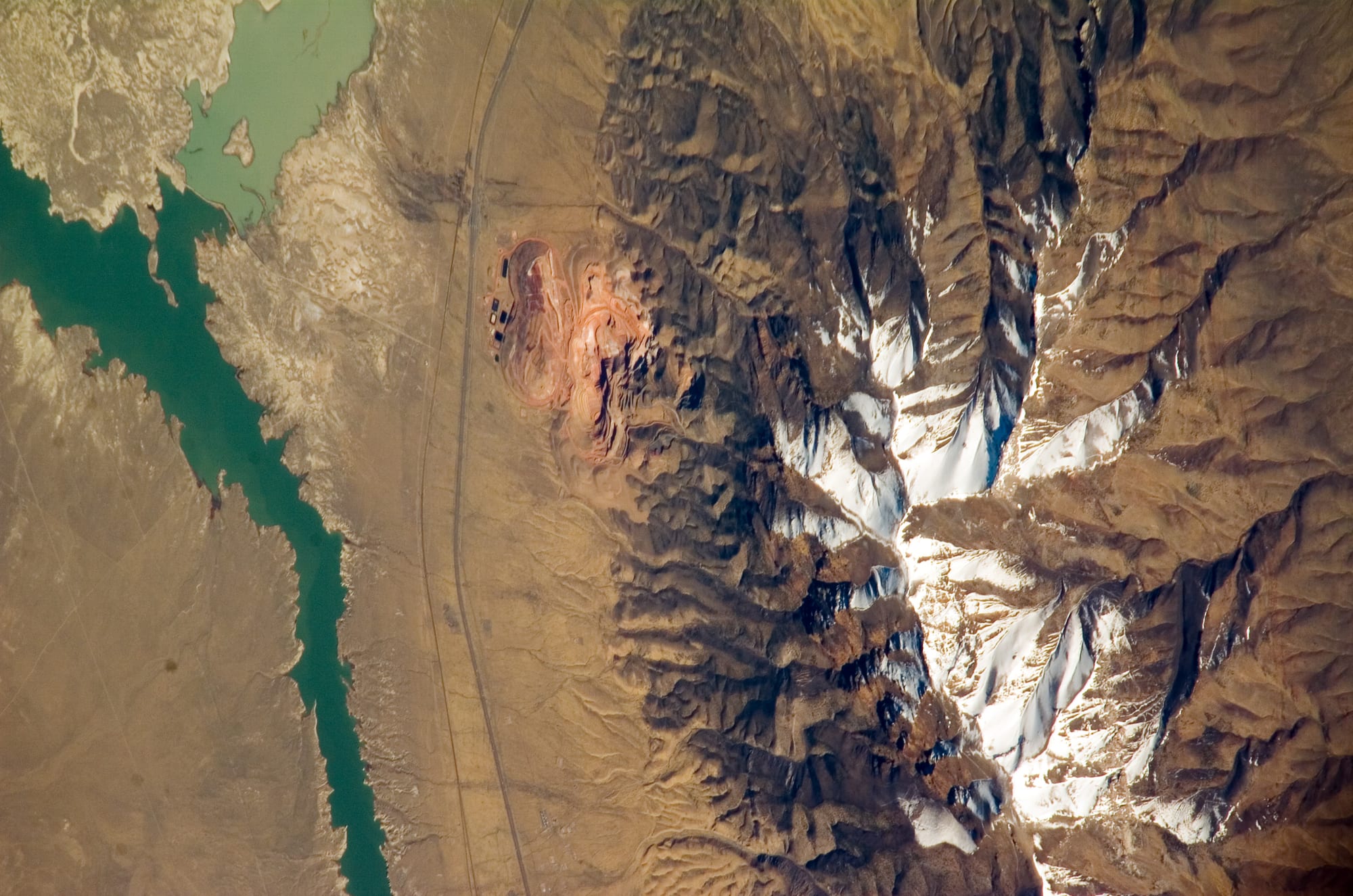
Rye Patch Reservoir's elevation is 4095.2 ft as of September 29, 2026. Rye Patch Reservoir was last full on March 24, 2020 (95.1% of normal storage). Rye Patch Reservoir is near Lovelock, Nevada. It has restrooms, showers, drinking water, picnic area, dump station, and boat launch, managed by Nevada Division of State Parks. Check current swimming advisories at Rye Patch State Recreation Area current advisories (Nevada State Parks) before you go.
Rye Patch Reservoir level history
This site counts a reservoir as full on a day its storage is at or above 95% of the dam's normal storage (National Inventory of Dams). Many reservoirs rarely reach 100%, even in wet years, because operators release water for irrigation, power or flood control before they fill, so this site treats 95% as full. Highs and lows are daily readings in the published data, not official records. Source: USGS daily data.
Storage, % of full pool, 1936 to 2021
This history ends December 1, 2021, the last day the source published it: 3.9% full. The current reading above comes from a different, live series.
Weekly averages of the source's daily readings; older years may be monthly or sparser where that is all the source published. Download the charted data (JSON).
Rye Patch Reservoir map
Rye Patch Reservoir is at 40.4716, -118.3082. Open in OpenStreetMap.
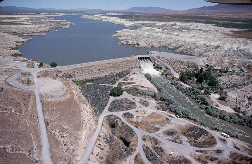
The dam
- Irrigation
- Recreation
Sources: nid.sec.usace.army.mil, accessed September 24, 2026 , recreation.gov/camping/gateways/86, accessed September 27, 2026
Data source: Recreation.gov
Visiting Rye Patch State Recreation Area
- Restrooms
- Showers
- Drinking water
- Picnic area
- Dump station
- Boat launch
River campground (22 units) and West Side campground (25 units), both with flush toilets and hot showers; sanitary dump station with potable water on the dam's west side. 14-day limit per 30-day period.
Pets welcome on a leash no longer than six feet.
Good to know:
- Double-lane boat ramp and dock next to the west side campground; two day-use picnic areas, a river area and a west side group-use area for groups up to 100.
- Quiet hours 10 p.m. to 7 a.m.; drones are not allowed; 5 mph boat speed limit within 100 feet of swimmers and beaches; OHV use is allowed on existing roads to reach adjacent federal public lands.
Swimming
Designated swim area: Buoyed swimming areas.
Water-quality and swimming advisories change without notice. Always check Rye Patch State Recreation Area current advisories (Nevada State Parks) before you go.
Sources: parks.nv.gov/parks/rye-patch, accessed September 25, 2026
On the water
This reservoir's page on Fishypedia: Rye Patch Reservoir fishing information.
No campgrounds, boat ramps, or swim spots linked to Rye Patch Reservoir yet.
Photos
Common questions
- Rye Patch Reservoir's elevation is 4095.2 ft as of September 29, 2026.
- Rye Patch Reservoir was last full on March 24, 2020, when it held 95.1% of its normal storage. This site counts a reservoir as full on a day its storage is at or above 95% of the dam's normal storage (National Inventory of Dams). Many reservoirs rarely reach 100%, even in wet years, because operators release water for irrigation, power or flood control before they fill, so this site treats 95% as full. Based on USGS daily data from February 20, 1936 to December 1, 2021, when that series ends.
- In USGS daily data since February 20, 1936, Rye Patch Reservoir's highest storage was 105% of normal storage on April 26, 2006. Its lowest after it first filled (June 7, 1945) was 0% of normal storage on September 3, 1954. These are the highest and lowest daily readings in the published data, not official records.
- Rye Patch Reservoir is near Lovelock, Nevada (40.4716, -118.3082).
- Local Government operates the dam at Rye Patch Reservoir.
- Rye Patch Reservoir's dam is used for Irrigation, Recreation.
- Always open, seven days a week, 365 days a year. Fees: Day use (Nevada vehicle) $5, Day use (non-Nevada vehicle) $10, Boat launch (Nevada vehicle) $10, Boat launch (non-Nevada vehicle) $15, Camping (Nevada vehicle) $15/night, Camping (non-Nevada vehicle) $20/night, Camp and boat (Nevada vehicle) $20/night, Camp and boat (non-Nevada vehicle) $25/night, Bike-in $2.
- Rye Patch Reservoir has designated swimming at: Buoyed swimming areas. Check current advisories at Rye Patch State Recreation Area current advisories (Nevada State Parks) before you go.